AN ODDITY ORIGINAL · MEEK SUN FLAGSHIP
THE RUST
BELT FILES
Eight investigations into the industrial landscapes that kept the evidence.08 DOSSIERS04 STATESPUBLIC RECORD + FIELD NOTES
ENTER THE ARCHIVE ↓COLLECTION STATEMENT
NOT RUINS.
RECEIPTS.
The Rust Belt Files is not a slideshow of abandoned buildings. It is a body of work about removal, contamination, labor, memory and the administrative language used to make permanent damage sound temporary.
Every dossier separates the documented public record from the author's archive notes and from claims that still need proof. That distinction shows exactly where the story is strongest—and where the next reporting begins.
01 PUBLIC RECORD02 ARCHIVE NOTES03 RECORDS WANTED
 FILE RB–001
Somerset · Miami County, IndianaThe Town They Flooded
What does a country owe a town it removes from the map?
Somerset was not simply abandoned. The community stood inside the footprint selected for the Mississinewa flood-control project, and the reservoir demanded a landscape emptied of homes, businesses, roads and graves. Federal acquisition converted a living town into a project boundary; afterward, water made the decision look natural.
This file follows two records at once: the administrative record of flood control and the human record of removal. The first explains acreage, relocation and the reservoir. The second survives in family testimony, remembered streets and the recurring local insistence that a place can remain present after its coordinates disappear.
PUBLIC RECORD- More than 150 homes and businesses were acquired or removed.
- More than 700 graves were relocated from the project area.
- Roughly 3,000 acres around Somerset were taken for the reservoir project.
AUTHOR'S ARCHIVE NOTES- Former residents describe a community divided by forced departure rather than ordinary decline.
- Stories about structures beneath the water belong to local memory unless matched to survey or demolition records.
RECORDS WANTEDAcquisition maps, demolition photographs, cemetery relocation ledgers and first-person accounts from displaced families.
OPEN ODDITY'S ORIGINAL DISPATCH ↗  FILE RB–002
Niagara Falls, New YorkThe Chemical Coffin of Love Canal
How many warnings must a neighborhood survive before institutions admit the ground is dangerous?
Love Canal became shorthand for buried waste, but shorthand can hide the sequence of decisions that created the disaster. Hooker Chemical used the unfinished canal as a disposal site, deposited roughly 21,000 tons of chemical waste, then transferred the property to the local school board for one dollar with warnings attached. Homes and a school followed.
By the late 1970s, chemical residues, odors and health complaints forced the crisis into public view. The federal emergency declaration of 1980 and the relocation of more than 900 families changed environmental law, helped propel Superfund and established a lasting lesson: disclosure on paper does not neutralize a hazard in the ground.
PUBLIC RECORD- About 21,000 tons of chemical waste were placed in the canal.
- Investigations identified dozens of compounds, including benzene, dioxin, PCBs and chloroform.
- The 1980 federal emergency led to the relocation of more than 900 families.
AUTHOR'S ARCHIVE NOTES- The story is strongest when the timeline of disposal, transfer, construction, complaints and evacuation remains intact.
- Claims involving separate military waste require independent documentation and are not treated here as established fact.
RECORDS WANTEDTransfer documents, original sampling tables, evacuation maps, resident testimony and records connecting each alleged waste stream to a named source.
OPEN ODDITY'S ORIGINAL DISPATCH ↗ 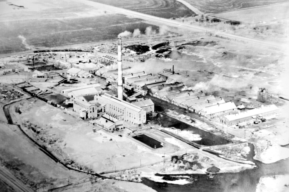 FILE RB–003
Blackwell, OklahomaThe Arsenic Town
When a company town loses the company, who inherits what it left in the soil?
Blackwell's zinc smelter helped build a local economy while arsenic, lead and cadmium accumulated beyond the plant fence. Closure ended the paychecks; it did not erase the industrial footprint. Cleanup eventually reached hundreds of residential properties, making private yards part of a public environmental record.
The 2014 settlement belongs in the file, but a settlement is not the same thing as a complete accounting. The deeper story is the long interval between production and recognition—and the difficulty of separating exposure, illness, property value and community loyalty without flattening any of them into a slogan.
PUBLIC RECORD- Zinc-smelting operations are associated with arsenic, lead and cadmium contamination in Blackwell.
- Cleanup work reached more than 400 properties.
- A 2014 settlement addressed claims tied to the contamination.
AUTHOR'S ARCHIVE NOTES- Resident accounts are essential evidence of lived impact, but medical causation requires case-specific documentation.
- Property counts and exposure statistics should remain linked to the agency or court record that produced them.
RECORDS WANTEDHistoric air-dispersion data, residential sampling maps, settlement exhibits, cleanup completion reports and resident health studies.
OPEN ODDITY'S ORIGINAL DISPATCH ↗ 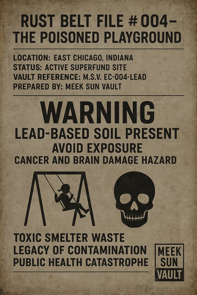 FILE RB–004
East Chicago, IndianaThe Poisoned Playground
What does justice mean after children have already played in the dirt?
The West Calumet Housing Complex occupied ground shaped by the former USS Lead and Anaconda Lead operations. Families lived above contaminated soil for years while regulators, property owners and public agencies argued through a record that residents could not simply step around.
In 2016 the scale of the danger became impossible to contain administratively. More than a thousand residents were displaced, the complex was emptied and demolition followed. The file is not only about lead concentrations. It is about environmental justice, delayed communication and the cost of making families move because institutions failed to make the ground safe first.
PUBLIC RECORD- The housing complex was built on or beside land affected by former lead operations.
- Residents were ordered to relocate after the 2016 crisis became public.
- More than 1,000 people were displaced; the complex was later demolished.
AUTHOR'S ARCHIVE NOTES- Relocation solved immediate occupancy, not the loss of community or the years of prior exposure.
- The absence of criminal charges is part of the accountability record; it should not be confused with the absence of harm.
RECORDS WANTEDFull resident-notification timeline, blood-lead program data, redevelopment plans, enforcement correspondence and oral histories from relocated families.
OPEN ODDITY'S ORIGINAL DISPATCH ↗ 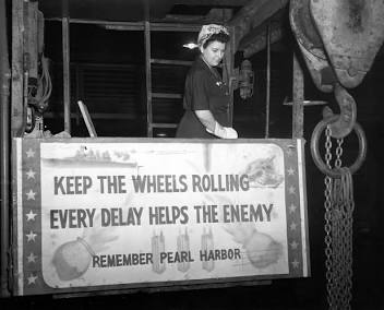 FILE RB–005
Gary, IndianaThe Forgotten Arsenal
What remains when wartime urgency becomes peacetime silence?
Gary Screw & Bolt was built in 1942 to manufacture the fasteners an industrial war machine required. Thousands worked inside a plant where production speed mattered more than the possibility that somebody might one day need a clean, complete record of what happened there.
After layoffs and abandonment, the factory became a physical argument about memory. It is tempting to let the ruin tell a more dramatic story than the documents support. This dossier does the opposite: it preserves what is known about the wartime plant while identifying the contamination claims, disposal practices and missing records that still need proof.
PUBLIC RECORD- The facility was constructed in 1942 for wartime fastener production.
- The plant employed thousands during its industrial peak.
- Later contraction and abandonment left a large industrial site with an incomplete public narrative.
AUTHOR'S ARCHIVE NOTES- Industrial ruins invite mythology; photographs establish condition, not the identity of every material once handled there.
- Claims of concealed federal records or specific toxic disposal require a named archive, document or sampling result.
RECORDS WANTEDWar Department contracts, process inventories, worker rosters, environmental assessments, demolition files and verified contamination samples.
OPEN ODDITY'S ORIGINAL DISPATCH ↗ 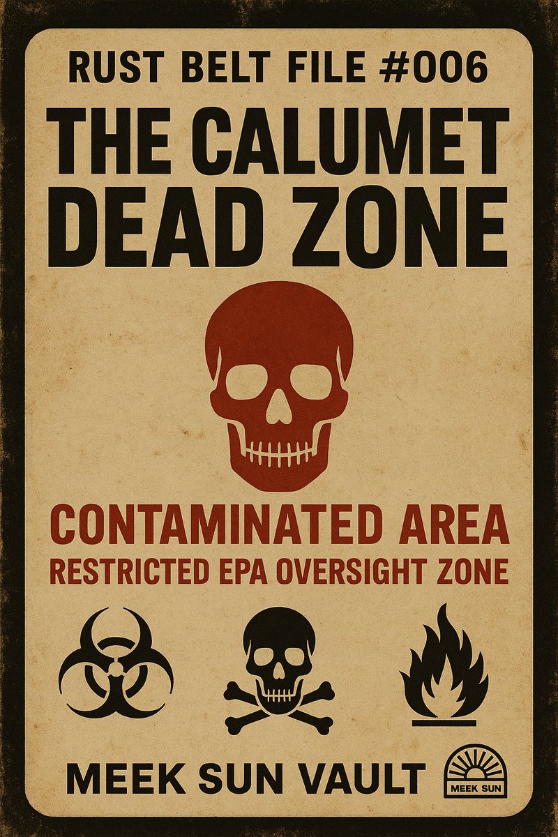 FILE RB–006
Southeast Chicago · Burnham, IllinoisThe Calumet Dead Zone
Is a capped dump a finished cleanup—or a promise that must be kept forever?
The Lake Calumet corridor is a layered industrial landscape: wetlands altered by mills, rail lines, slag, landfills and waste sites. Paxton Avenue and the site known as Mount Trashmore became visible symbols of a much larger geography in which pollution crossed property lines more easily than responsibility did.
An underground fire made the danger dramatic, but the enduring question is quieter. Caps, controls and monitoring can contain contamination without removing it. That makes maintenance, public access to records and institutional memory part of the remedy. A cap is engineering; trust requires the receipts to stay visible.
PUBLIC RECORD- The area contains former landfills, industrial fill and altered wetland systems.
- The EPA proposed the Lake Calumet Cluster for Superfund listing in 1990.
- Underground fire and landfill conditions drove repeated concern about containment and monitoring.
AUTHOR'S ARCHIVE NOTES- Containment should not be described as erasure; long-term monitoring is part of the remedy.
- Claims that records were deliberately redacted or buried remain unverified without the underlying request and response.
RECORDS WANTEDCap-maintenance reports, fire investigations, groundwater monitoring, landfill ownership histories and complete records-request logs.
OPEN ODDITY'S ORIGINAL DISPATCH ↗ 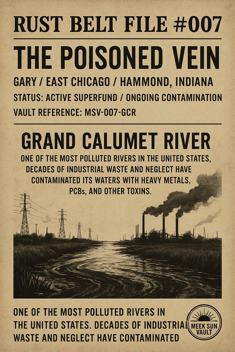 FILE RB–007
Gary · East Chicago · HammondThe Poisoned Vein
When a river is engineered to carry waste, what counts as recovery?
For roughly thirteen miles, the Grand Calumet River passes through the core of Northwest Indiana's industrial geography. Steel mills, refineries, chemical operations and municipal discharges turned water and sediment into an inventory of the region's productive power: PCBs, PAHs, heavy metals, cyanide and mercury among the contaminants recorded over time.
Dredging, capping and habitat work have changed stretches of the river, which is designated a Great Lakes Area of Concern. Yet recovery is not a single ribbon-cutting. It is a long negotiation between contaminated sediment, continuing industry, restored habitat and communities deciding whether a river once treated as a conduit can become a living place again.
PUBLIC RECORD- The Grand Calumet system is a designated Great Lakes Area of Concern.
- Sediment investigations have documented PCBs, PAHs and multiple heavy metals.
- Remediation has included dredging, capping and habitat-restoration work.
AUTHOR'S ARCHIVE NOTES- Visible wildlife and improved water do not by themselves close the contamination record.
- A credible recovery claim needs sediment, water-quality and habitat measures tracked over time.
RECORDS WANTEDPost-remediation monitoring, sediment maps, discharge histories, habitat metrics and community-access plans for restored reaches.
OPEN ODDITY'S ORIGINAL DISPATCH ↗ 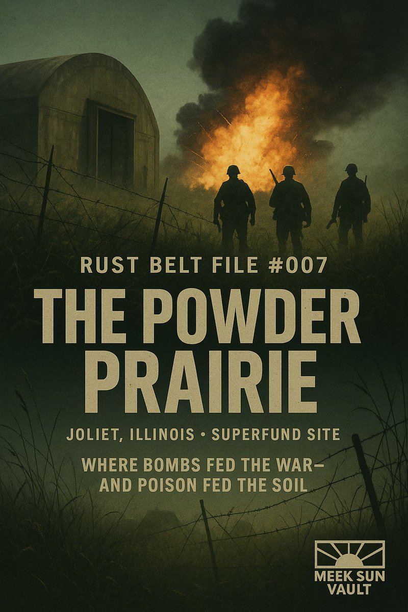 FILE RB–008
Joliet, IllinoisThe Powder Prairie
Can a weapons landscape become a refuge without hiding what the soil remembers?
Built in 1940–41, the Joliet Army Ammunition Plant expanded across roughly 23,500 acres to produce and load explosives for war. Rail, production lines, bunkers and disposal areas made the site a city organized around danger, distance and military necessity.
Its later transformation is unusually complex. Portions became Midewin National Tallgrass Prairie while other areas remained tied to cemetery, rail and cleanup uses. Superfund listing in 1987 formalized the contamination problem; prairie restoration created a different future. Both histories occupy the same ground and neither should be used to conceal the other.
PUBLIC RECORD- The ammunition complex was built in 1940–41 and covered about 23,500 acres.
- The site was placed on the Superfund National Priorities List in 1987.
- Former arsenal land now includes Midewin prairie, Abraham Lincoln National Cemetery, rail uses and restricted cleanup areas.
AUTHOR'S ARCHIVE NOTES- Restoration and remediation are parallel stories, not interchangeable claims.
- Accounts of undocumented underground structures require plans, geophysical surveys or verified access records.
RECORDS WANTEDExplosives-production maps, operable-unit reports, groundwater data, restoration monitoring and verified records of remaining structures.
OPEN ODDITY'S ORIGINAL DISPATCH ↗ THE RUST BELT FILES
THE ARCHIVE
IS NOT CLOSED.
This flagship remains a living reporting file. Corrections, primary documents and first-person records can deepen a dossier without erasing the earlier work.